The South Coast Track
9 days – Hard Grade – $3495
Join our expert guides on Lutruwita’s [Tasmania’s] most remote wilderness walk, over 9 amazing days.
Tasmanian Hikes is an experienced operator and has been walking this track for 19 years. Our itineraries are well researched and supported. The food is amazing and our guides are extremely knowledgable, supportive and encouraging.
Come and discover the beauty and remoteness of the South West & South Coast of Tasmania. Early explorers once called this part of the world “Lands End”
This track is also rich in cultural and historical significance. The Palawa, [Tasmanian Aboriginals of the South West and South East Nations] used this same route for thousands of years.
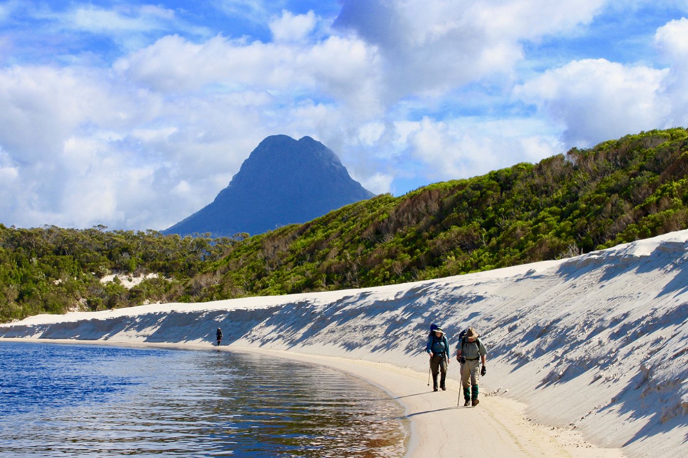
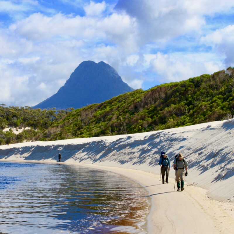
You’ll trek along remote beaches, row and wade across wild rivers and streams and cross mountainous ranges.
This tour has no set departure dates, but if you are a group of 4 or more, we can Taylor a departure to suit you. If you are enquiring as a solo traveller, please get in touch, as we may have a group you can join.
Highlights
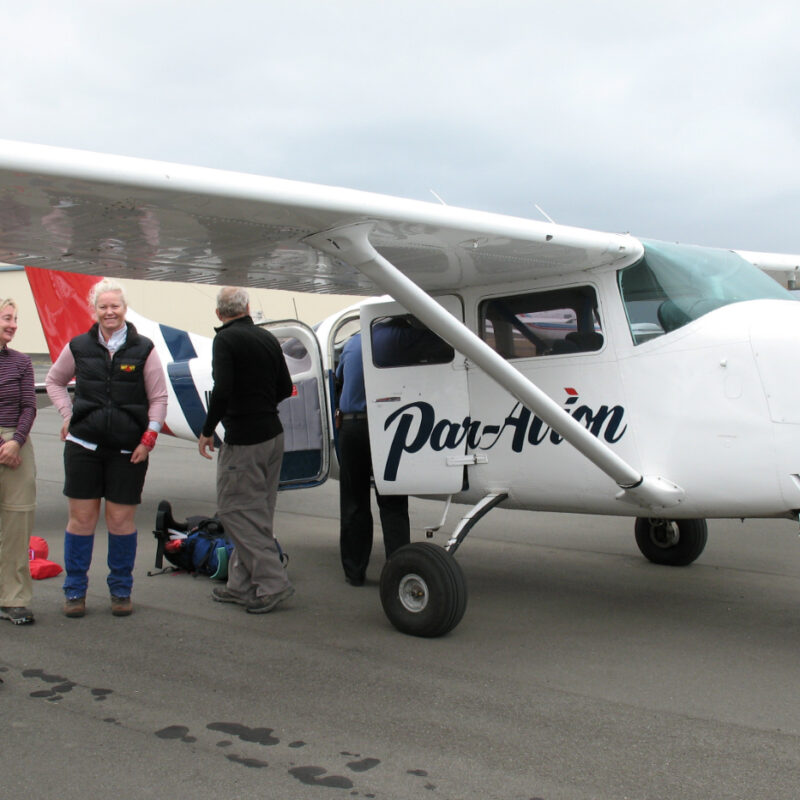
- Awe inspiring scenic charter flight to Melaleuca via Federation Peak / Southern Coastline
- Amazing and nourishing meals
- Remote pristine Beaches & Lagoons
- Picturesque Campsites
- Challenging Coastal Ranges
- Unique flora & fauna – Rainforests – Coastal Heath – Shore Birds
- Aboriginal history
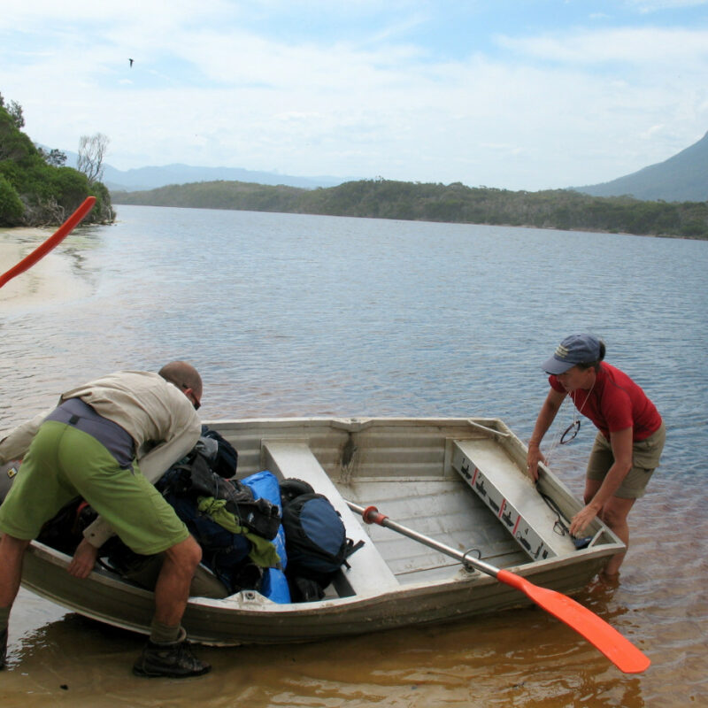
- Rowing across New River Lagoon
These trips are full pack and expedition length. A high level of fitness is required to complete this expedition. It is a rewarding and sometimes emotional challenge.
Please take the time to read our itinerary and frequently asked questions below, which will help you prepare for your amazing adventure.
Grade: Hard
Our Itinerary
Our spectacular flight from Hobart departs early afternoon, and depending on the weather, we will follow the coastline to Melaleuca, or we will take a more direct route via Federation Peak. After the sorting of equipment we will head south towards Freney Lagoon and the wide expanses of Cox Bight Beach. In earlier days light aircraft used to land here and drop off walkers [now not permitted]. From the beach you will make out some of the islands of the Maatsuyker Group, some of many islands that we will see along this southern coastline. A short and pleasant walk along Cox’s Beach brings us to our camp at Point Eric.
From our campsite at Point Eric we walk along the beach of Cox Bight for a short while until we reach Buoy Creek. From here we head inland and steadily climb 210 metres to the top of the Red Point Hills. From this vantage point we have amazing views towards the Ironbound Range in the east and the New Harbour Range in the west. The track descends down to button grass plains crossing Faraway & Louisa Creeks before arriving at Louisa River and our camp. We cross Louisa River and camp on the southern side in the shelter of the forest. The forest is dominated by eucalypts with an understory of ferns. The older growth trees provide nesting sites for Yellow Tail Black Cockatoos and Wedge Tailed Eagles.
Today is undoubtedly the hardest day of the expedition, but it is also the most rewarding. It is a steep climb up the Ironbound Range and we pass many false summits on the way. Lunch is near the top, on a crest of a ridge and the only true alpine vegetation on our walk grows here. These plants have to hold on tight as they have to contend with the fierce southerly winds. From here Federation Peak can be viewed to the north. Post lunch, it is a long and careful descent through dense rainforest to our campsite at Little Deadman’s Bay.
Today is a rest day @ Little Deadman’s Bay
We follow the coast for much of the day and we walk along the hikes longest beach, Prion Beach which is 5 km long. At he end of the beach lies New River Lagoon. We have to row across the lagoon in rowboats that Parks and Wildlife have provided. Our camp is located on the Eastern side of the lagoon.
From New River Lagoon the track continues through light forest; crosses Milford Creek then across button grass plains to Osmiridium Beach. We lunch at Osmiridium Beach before continuing on to Surprise Bay. Before entering eucalypt forest, we get our first glimpses of the magnificent fluted cliffs of the South Cape. At Surprise Bay our camp is perched on a headland boasting amazing views of the Southern Ocean and the islands of the Maatsuyker group.
A short walk today. After lunch we head up and over a headland to Granite Beach. The beaches shoreline is dominated by large granite stones, and a waterfall at its eastern end.
Today we climb up and over the South Cape Range [500m] and take in the views of Pindars Peak [on the Moonlight Ridge Track], and the Great Southern Ocean to our south. From here we gradually descend through spectacular forest to South Cape Bay. At South Cape Rivulet we wade across the river to our last nights camp.
Its easy but steady walking today over a series of beaches and headlands. We pass by Lion Rock that lies in South Cape Bay then pick up the boarded walking track through the open heathland of Blowhole Valley to Cockle Creek.
How To Book
To make a booking, select the departure date from the calendar, click on the BOOK NOW button, fill out your details, and submit.
Our booking platform is 100% secure. You can choose to pay for your tour in full when you book, or pay a deposit. Deposits are $500 per guest.
Final payments are due 8 weeks before the departure date.
Please note: If any of our tours are showing “sold out” or if there is not enough availability on your preferred departure date from our calendar, please get in touch, as there maybe cancellations being processed.
Start Booking Now

Tasmanian Hikes is a great value and wonderful support hiking guide. South Coast track that I did with them was an amazing experience. Loved it.
– Debbie K. (South Coast Track)

Frequently Asked Questions
On the day before your walk, Tasmanian Hikes staff will come to your Hotel and conduct a gear check. Following the gear check, you will have time to visit any outdoor stores to purchase last minute items and to have lunch. Our flight to Melaleuca departs @ 2:30pm so we will collect all guests from their Hotels at 1pm
The weight of your packs on average will be between 18kg – 20kg. You will be required to carry a portion of the group food throughout the expedition. The group food may weigh up to 3kg. You should be able to get your personal gear down to 14kg [or you may have ultra-light quality gear], add 1.4kg for a share of a tent and 3kg for a food bag. Please note that you must have at least a 75 -80 litre backpack for this expedition to accommodate the food and gear.
Yes, we can cater for most diets including, Vegan, Vegetarian, Gluten Free and Coeliac. Please contact us about your dietary needs.
Yes, we hire out Sleeping Bags & Liners, Sleeping Mats & Raincoats. We do not hire out backpacks for this tour.
If your Hotel cannot store it for you, we can. We will bring your luggage to the end of the track.
Included in the tour price is: 2 x Expert Mountain Guides, charter flight to the start of the track and private bus from the finish of the tour back to your Hotel in Hobart, all food, emergency communication equipment and 1st aid kits, group gear [pots and pans, cutlery, bowls, stove fuel and stoves], National Park passes
On the last day we typically arrive at Cockle Creek at 12 midday. At Cockle Creek we have lunch, then it is a 3 hour drive to Hobart arriving at approximately 4pm
Single tents are available only if there is an odd number of guests in the group. You may request a single tent but this may not be guaranteed or we may be limited to availability.
This tour is a small group departure of 10 guests. The minimum number of guests to guarantee a departure is 6.
